Welcome to DU!
The truly grassroots left-of-center political community where regular people, not algorithms, drive the discussions and set the standards.
Join the community:
Create a free account
Support DU (and get rid of ads!):
Become a Star Member
Latest Breaking News
Editorials & Other Articles
General Discussion
The DU Lounge
All Forums
Issue Forums
Culture Forums
Alliance Forums
Region Forums
Support Forums
Help & Search
California
Related: About this forumGovernor Newsom Announces the Reopening of Highway 1, Ahead of Schedule
https://www.gov.ca.gov/2024/05/14/governor-newsom-announces-the-reopening-of-highway-1-ahead-of-schedule/
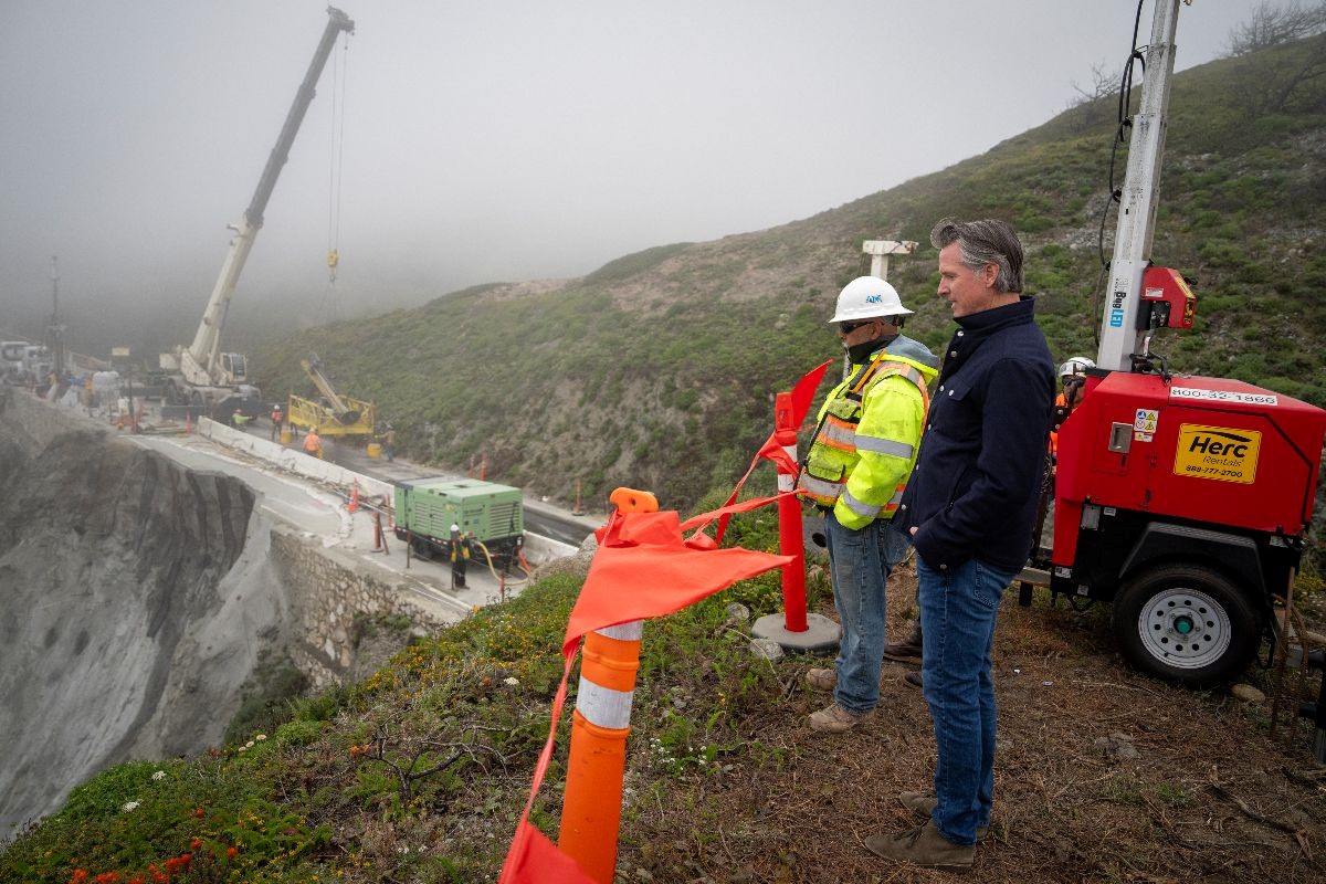
Governor Newsom surveys damage near the Rocky Creek Bridge earlier this month.
This portion of Highway 1 will reopen with the use of a 24/7 signalized traffic control. This temporary signal will provide unrestricted public access with one-way alternating traffic in both the north and southbound directions.
...
On March 30, a rockslide below Highway 1 south of the Rocky Creek Bridge left the southbound lane partially undermined and impassable. Approximately 6 feet of the pavement and a portion of an unreinforced masonry retaining wall that supported the highway fell to the ocean about 170 feet below the road.
In order to stabilize the remaining southbound lane and preserve the northbound lane, crews drilled, installed and grouted 40 vertical and 75 sub-horizontal steel elements into the slope. The steel elements, or rock dowels, are covered by an application of shotcrete to protect the exposed rock slope. This work required Caltrans to close the roadway in both directions at Rocky Creek, aside from twice-daily convoys through the slip-out area.
Now that Caltrans has stabilized the southbound lane and preserved the northbound lane, the site will continue to be monitored and visually inspected. A project to construct a permanent repair to the highway at this location is currently in the design phase, with an estimated completion date of spring 2025.
A permanent repair to the highway is being designed and is expected to be completed in spring 2025, Caltrans said. (ABC News)
https://abcnews.go.com/Business/wireStory/californias-scenic-highway-1-big-sur-opens-clock-110343958

Screenshot from ABC, appears to be the one-lane alternation, as Yosemite visitors are all too familiar with from a landslide very long ago.
InfoView thread info, including edit history
TrashPut this thread in your Trash Can (My DU » Trash Can)
BookmarkAdd this thread to your Bookmarks (My DU » Bookmarks)
10 replies, 739 views
ShareGet links to this post and/or share on social media
AlertAlert this post for a rule violation
PowersThere are no powers you can use on this post
EditCannot edit other people's posts
ReplyReply to this post
EditCannot edit other people's posts
Rec (6)
ReplyReply to this post
10 replies
 = new reply since forum marked as read
Highlight:
NoneDon't highlight anything
5 newestHighlight 5 most recent replies
Governor Newsom Announces the Reopening of Highway 1, Ahead of Schedule (Original Post)
usonian
May 2024
OP
yep... I guess you wouldn't like the drive up to Lake Arrowhead either.
BlueWaveNeverEnd
May 2024
#4
oh nice. it's beautiful up there but drove up on foggy / rainy day once
BlueWaveNeverEnd
May 2024
#8
ret5hd
(21,320 posts)1. One of the most scenic drives in the world.
quaint
(3,545 posts)2. Except for the parts where I close my eyes.
😑
BlueWaveNeverEnd
(10,197 posts)4. yep... I guess you wouldn't like the drive up to Lake Arrowhead either.
quaint
(3,545 posts)6. Not liking isn't the same as not going, though.
My grandparents lived in Crestline in the late 1950s, 60s, and early 70s.
BlueWaveNeverEnd
(10,197 posts)8. oh nice. it's beautiful up there but drove up on foggy / rainy day once
it was terrifying.
usonian
(13,785 posts)5. Who doesn't have a non-favorite road?
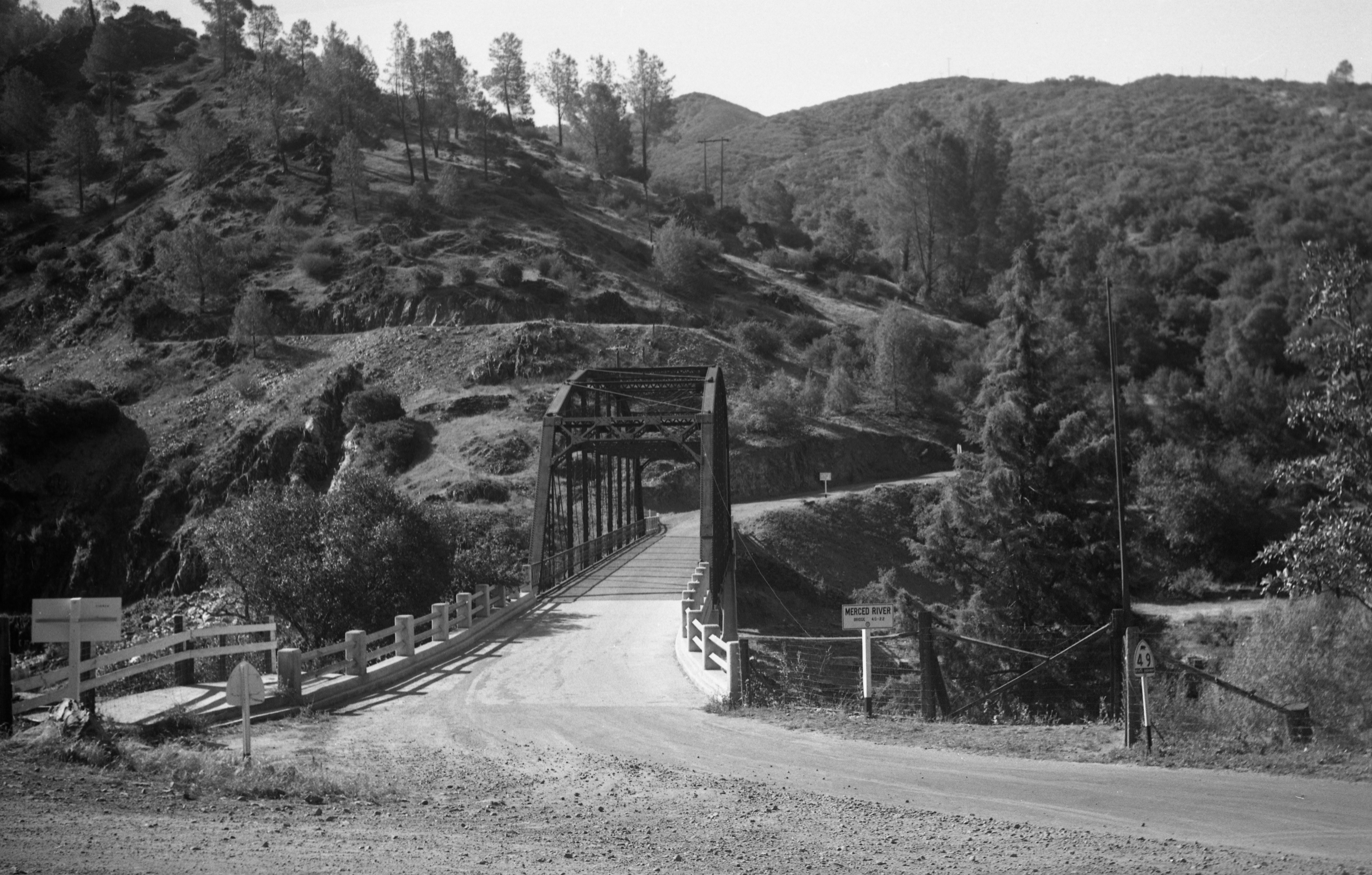
Try highway 49 through Bagby. I call it the Thelma and Louise highway. One or two guardrails, hairpin turns, and hundreds of feet drops ( so who’s measuring? )
White knuckle highway, unless you have a sports car, I imagine. My budget allows imagining only.
quaint
(3,545 posts)7. Looks pretty, but I'll pass...
 /svc:iiif/full/,600/0/default.jpg
usonian
(13,785 posts)9. Don't look Dowwwwwwwwwwwwwwwwwwwn.
BlueWaveNeverEnd
(10,197 posts)3. don't stand to close to the ledge Newsome
SunSeeker
(53,655 posts)10. But it's still closed south of Big Sur.
You can only get to Big Sur from the north. Which sucks for Big Sur businesses, and us folks in So. Cal. who love weekend trips up to Big Sur.