Texas
Related: About this forumA tropical system is likely to develop in the Gulf of Mexico early next week
It is the time of year that no one living on the Gulf Coast can take anything developing in the Gulf for granted. I love Space City Weather and here is the latest
Link to tweet
https://spacecityweather.com/a-tropical-system-is-likely-to-develop-in-the-gulf-of-mexico-early-next-week-heres-what-to-look-out-for/
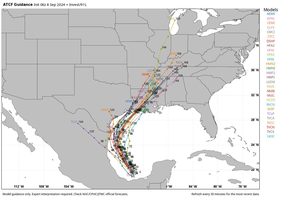
Camp 1: A strong tropical storm or hurricane that tracks off the Texas coast toward Louisiana arriving Wednesday-ish.
Camp 2: A depression or loosely organized tropical storm with a lot of rain that impacts Texas, especially at the coast Tuesday through Thursday, coming ashore between Galveston and Cameron, LA.
I am not a betting man, but I would probably say the odds right now are 70/30 in favor of camp 2, but that 30 percent is a weighty one given that the system could be a hurricane in that scenario. Normally, I’d discount the ICON model, but given its performance this season and the consistency it has had with track and intensity here, I think there’s merit to considering it with this particular system.
cloudbase
(5,747 posts)LetMyPeopleVote
(154,538 posts)Space City Weather really helped out
TBF
(34,315 posts)LeftInTX
(29,999 posts)LetMyPeopleVote
(154,538 posts)Link to tweet

The question for Houston is, what happens after that?
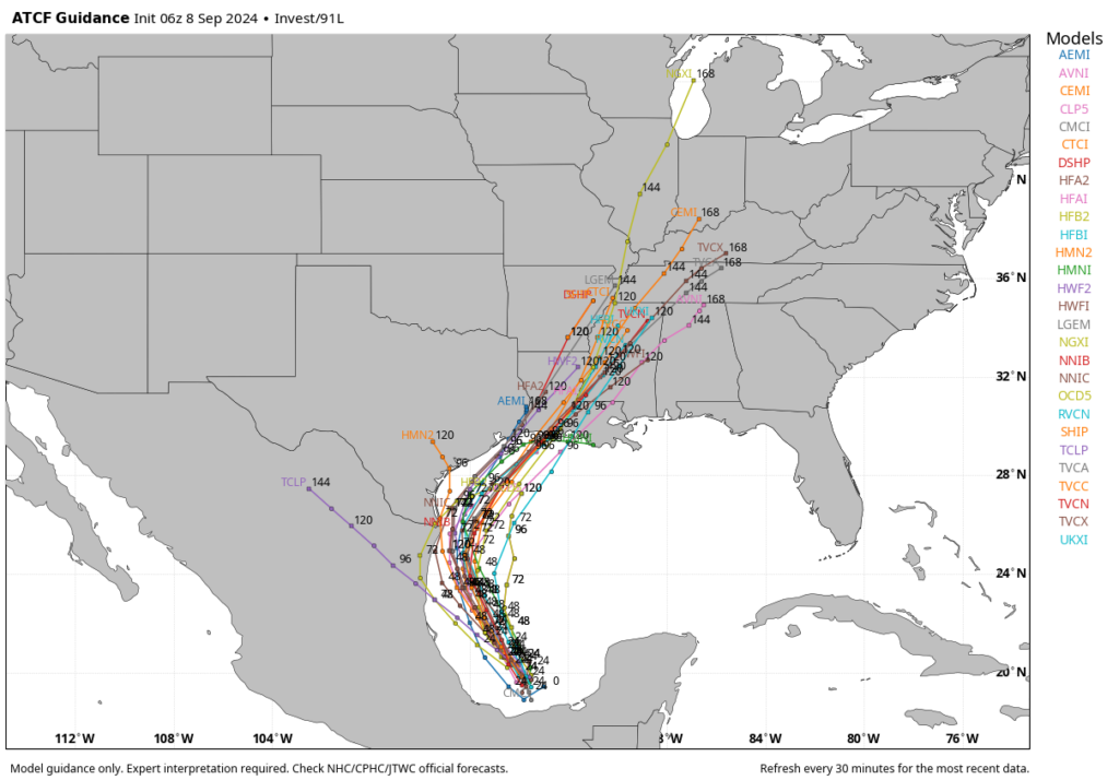
Over the last several runs, we’ve seen better model agreement in those outcomes. So while I’m not ready to say this is a high-confidence forecast, I do feel as though it is fairly likely to occur. By Wednesday the storm will probably be moving more or less parallel to the Texas coast, to the north-northeast. Then by Wednesday evening or Thursday, the system—most likely a tropical storm, but it’s impossible to rule out strengthening into a hurricane—would make landfall somewhere in southwestern Louisiana.
This forecast can change, and indeed anyone who has followed tropical weather knows to expect the unexpected. Additionally, this area of low pressure that we’re talking about remains a fairy disorganized mass of showers and thunderstorms in the southern Gulf of Mexico as of Sunday morning. The accuracy of the models should increase as a center of circulation forms today and Monday. However, at this time all of our guidance is pointing to a scenario in which this tropical system gets fairly close to the Texas coast, but then remains offshore as it moves to the northeast.

LeftInTX
(29,999 posts)LetMyPeopleVote
(154,538 posts)Right now we may get by with 5 inches of rain
LeftInTX
(29,999 posts)The National Hurricane's discussion keeps referring to "barrier jet" off the Sierra Madres. I have no idea what that is? Did the same cold front get stuck in the mountains?
Anyway last night, I went walking and had to come because I was too cold. It was 67 degrees. ![]()
Our dewpoint was only 49 around 5 pm yesterday. It felt like winter. ![]()
Unless this dry air got "stuck in the Sierra Madres", it's going to push that storm to the east. The weather here is not conducive. When our cold fronts are this strong, they do impact the Gulf. (Unless the cold front got stuck in some weird "barrier jet", whatever that is).
I also noticed Houston was affected by the cold front, but not as strongly as here.
LetMyPeopleVote
(154,538 posts)My bearded collie and the aussie/husky mix were really zooming in the back yard this morning
