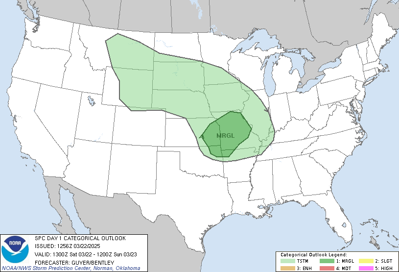
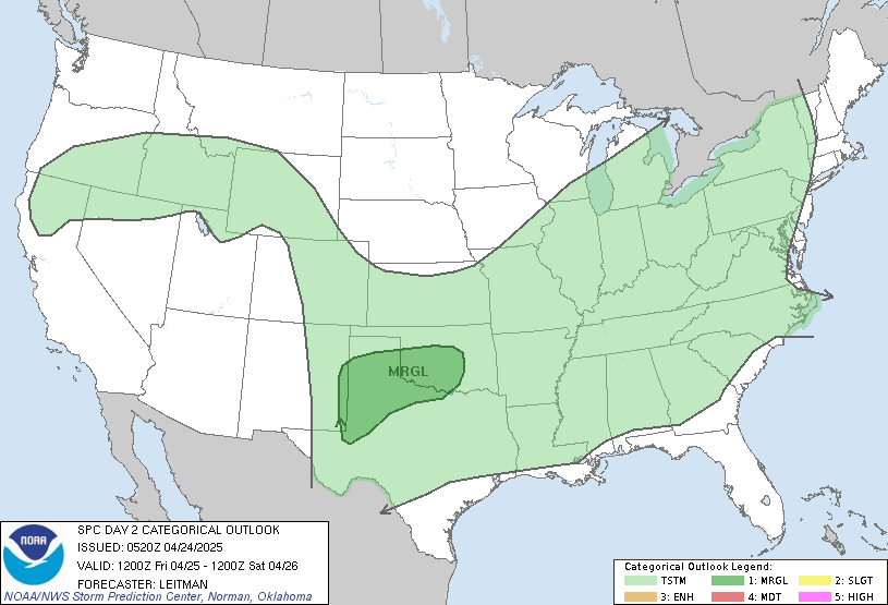
Severe weather in the exact same areas today as Friday - Just posting for visibility
Starting this morning and going into Thursday morning. Freakishly the exact same areas as Friday with an extra day added. Could be as bad as Friday if not worse, especially MI, IN, OH, and KY on Wednesday. SPC has strong wording of EF2(Cat 3 Hurricane wind speeds) and higher tornado probabilities both days
Scientists look for past events (called analogs) that have similar atmospheric setups to help in forecasting and this storms parameters are comparable to the super outbreak on April 4th 1974 which is even more freaky (2 of the biggest EF5s ever recorded that day, Xenia Ohio being one). This will be a particularly dangerous situation from TX to MI once again. Please, when the NWS uses PDS (particularly dangerous situation), and they rarely do, less than 5% of the time, they really mean it. The peak is expected in the overnight so heed warnings on weather radios and phones. Stay aware you'll stay alive.
https://www.spc.noaa.gov/
Today

Tomorrow


